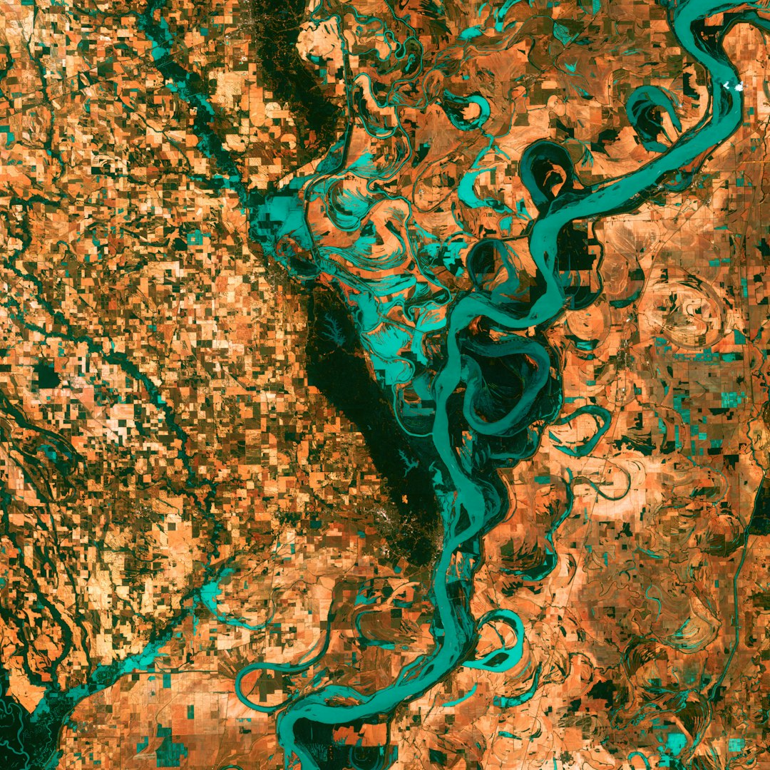
Recent satellite imagery has shed light on the construction of the IDF’s Morag corridor in Gaza.
The corridor is a crucial part of Israel’s plan to ‘conquer’ the Gaza Strip.
Analysis of Israeli media and army footage reveals the latest developments in the region.
The images show the progression of the construction and the impact on the surrounding areas.
The Morag corridor is a contentious project that has sparked debate and criticism internationally.
Experts are closely monitoring the situation to understand the implications of the corridor’s completion.
The satellite imagery provides a unique perspective on the ground reality in Gaza.
The Observers team at France 24 is dedicated to uncovering the truth behind the construction project.
Stay tuned for more updates on Gaza’s Morag corridor and its implications on the region.
